


Brussels, 1 October, (Brussels Morning Newspaper) – A rapidly strengthening El Niño is raising questions over Europe winter weather, with leading climate agencies forecasting an unusually powerful Pacific warming event alongside increased chances of mild and wetter conditions across much of the continent this winter.
The World Meteorological Organization (WMO) says El Niño is firmly established and is expected to strengthen to “very strong” intensity before peaking towards the end of 2026. Its September update put the likelihood of El Niño continuing through December 2026 to February 2027 at nearly 100%.
How powerful could El Niño become this winter?
The latest outlook from the US National Oceanic and Atmospheric Administration’s Climate Prediction Center points to an exceptional event.
NOAA says there is a greater than 90% chance of a very strong El Niño during the Northern Hemisphere autumn and winter of 2026–27. Its September assessment also estimated a 75% chance that the October-to-December period could reach a threshold exceeding previous El Niño events in its record dating to 1950, based on the Relative Oceanic Niño Index measure.
However, a powerful El Niño does not automatically mean extreme conditions everywhere. NOAA explicitly cautions that while an event of this magnitude increases the chances of characteristic El Niño impacts, those effects are not guaranteed.
Could Europe face a milder and wetter winter?
The Copernicus Climate Change Service offered an early indication of what the developing event could mean for Europe in its 10 September seasonal forecast.
Copernicus said its latest models favour above-average temperatures for winter as a whole across virtually all European land areas. They also indicate a wetter-than-average season across most of the continent, apart from areas near Europe’s northern and southern edges.
That broad signal could become an important feature of Europe winter weather, but seasonal forecasting cannot determine whether individual countries will experience particular storms, floods, cold snaps or periods of heavy snow months in advance.
What does the WMO say about the risks?
The WMO says the developing event is expected to produce significant shifts in global rainfall and temperature patterns, increasing risks including floods, drought and extreme heat in different parts of the world.
Its September Global Seasonal Climate Update forecasts the El Niño intensification trajectory to peak around November and December. The organisation’s multi-model ensemble projected the Niño 3.4 sea-surface temperature anomaly at approximately 3.6°C for September to November, although individual measures of El Niño intensity are not directly interchangeable.
Why could the forecast matter for Europe?
A winter that is significantly wetter or warmer than average could affect energy demand, agriculture, river levels, transport systems and flood preparedness.
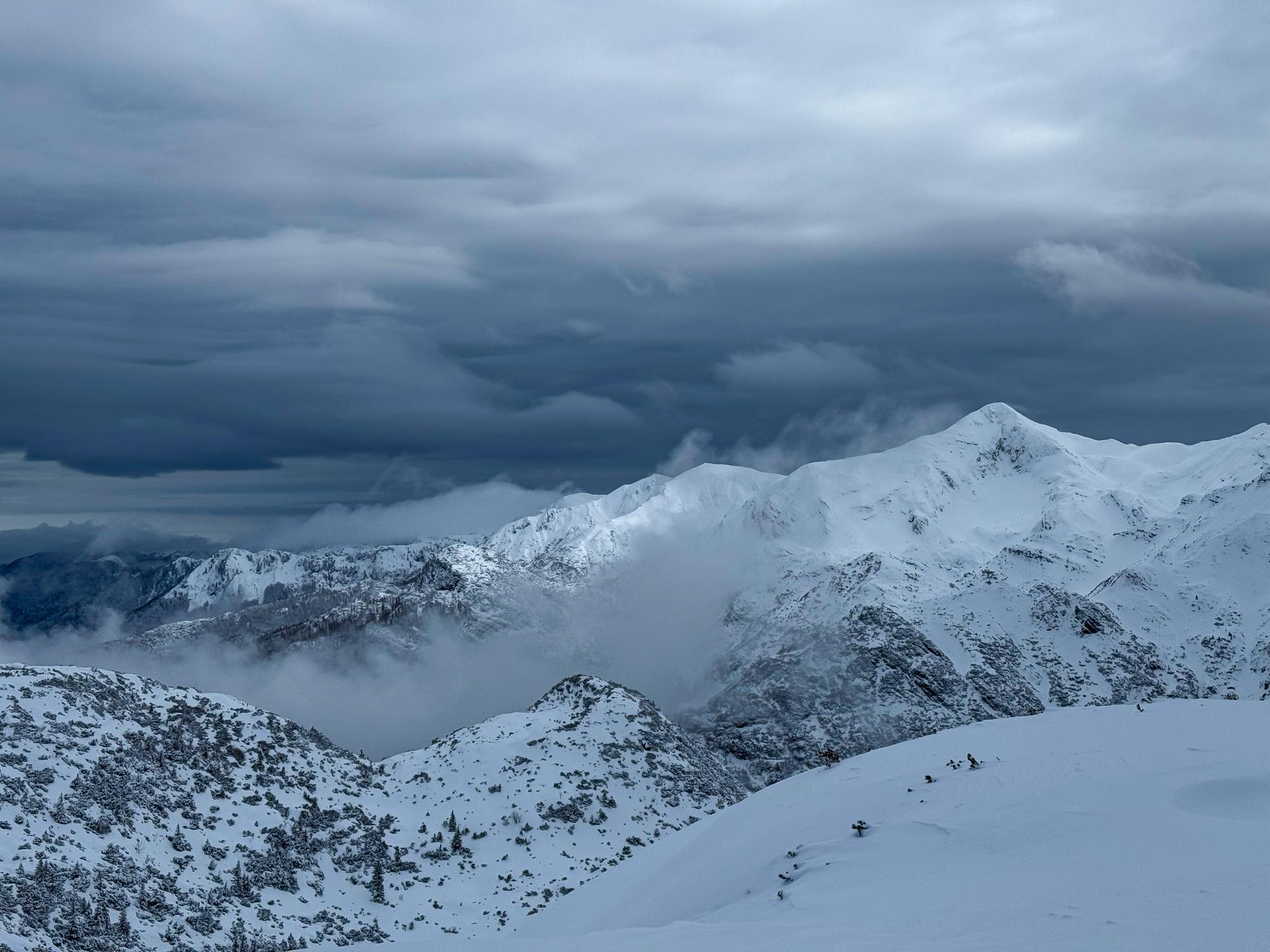
The consequences would vary substantially by region. Mountain areas, for example, depend on the interaction between precipitation and temperature for snowfall, while persistent rainfall can increase pressure on rivers and drainage infrastructure elsewhere.
Seasonal outlooks describe probabilities rather than day-to-day weather, making regional and national forecasts increasingly important as winter approaches.
What happens next for Europe’s winter outlook?
Copernicus updates its seasonal forecasting products monthly, meaning forecasts should become progressively more informative as winter draws closer. Its next update is expected in October.
NOAA is also due to publish its next ENSO Diagnostic Discussion on 8 October 2026.
Current evidence therefore points towards an exceptionally powerful El Niño alongside elevated probabilities of mild and wetter conditions across significant parts of Europe. Exactly how the event influences Europe winter weather, however, will depend on the interaction between El Niño and other atmospheric patterns over the North Atlantic and European region.