London (Brussels Morning Newspaper) – January 10, 2026 – A prominent weather expert delivered an unexpected forecast for the remainder of January and February, predicting milder-than-normal temperatures and reduced precipitation across northern Europe following Storm Goretti. High-pressure systems will dominate, bringing settled conditions contrary to seasonal expectations. The outlook marks a significant shift from recent severe weather patterns.
- Met Office Details Long-Range Mild Weather Projections
- Météo-France Aligns with Continental Mild Outlook
- ECMWF Models Confirm High-Pressure Blocking Pattern
- Atmospheric Rivers Undergo Observed Poleward Shifts
- Regional Temperature and Precipitation Breakdown
- Post-Storm Goretti Recovery Benefits from Mild Shift
- Sector Responses to Forecasted Conditions
- Model Monitoring and Update Schedules
Forecasters noted that models now favour a blocking high over Scandinavia from mid-January, suppressing Atlantic storms. Mean temperatures will exceed averages by 2-4°C in the UK and northern France, with frost events minimising after January 12. Rainfall projections stand at 50-70% below norms through February.
Met Office Details Long-Range Mild Weather Projections
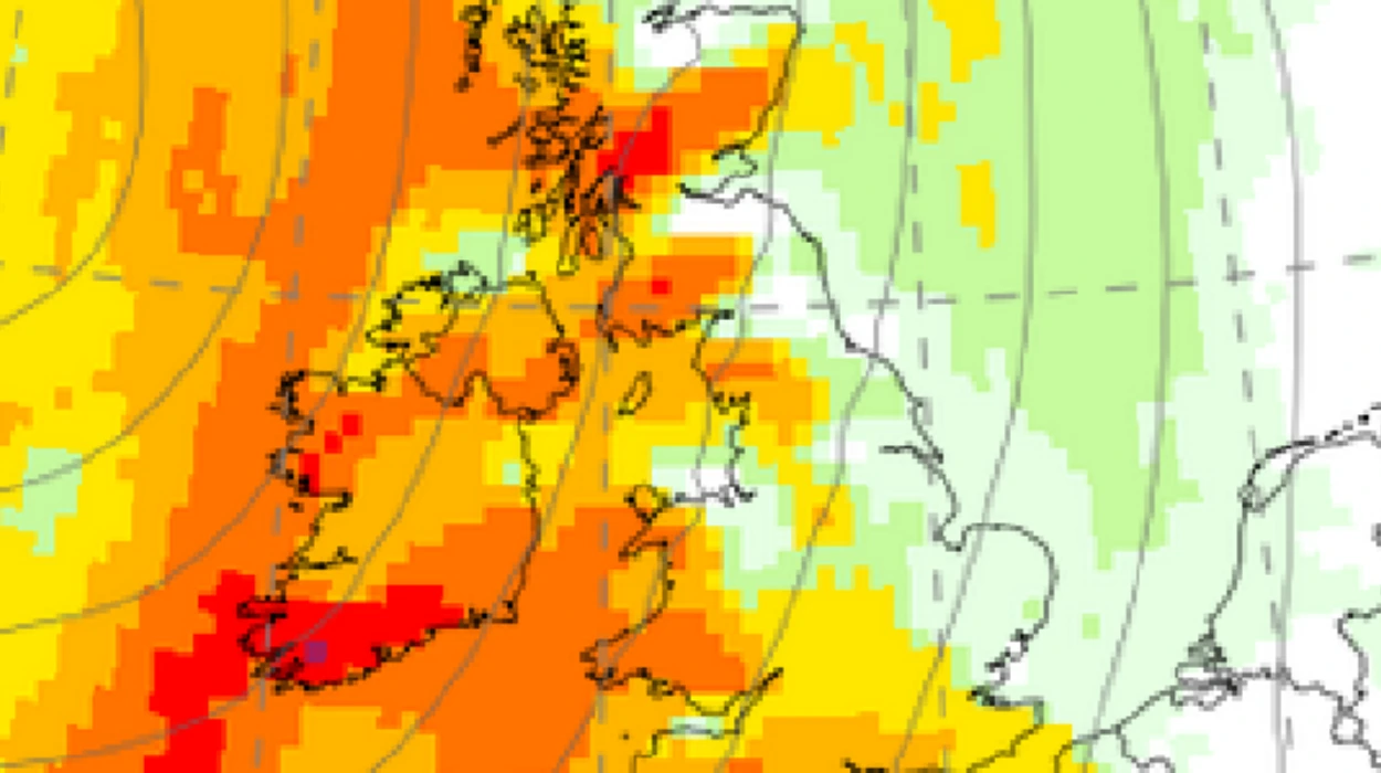
The Met Office outlined drier conditions from January 15, with daytime highs reaching 10-12°C in southern England by late month. Sunshine hours increase 20-30% above average, while winds remain below 30 km/h. February forecasts confirm anticyclonic dominance, limiting snowfall to isolated Scottish Highlands.
This projection follows Storm Goretti’s passage, which brought 99 mph gusts and widespread disruptions earlier in the week. Initial cold biases in models gave way to high-confidence mild signals by January 10.
Météo-France Aligns with Continental Mild Outlook
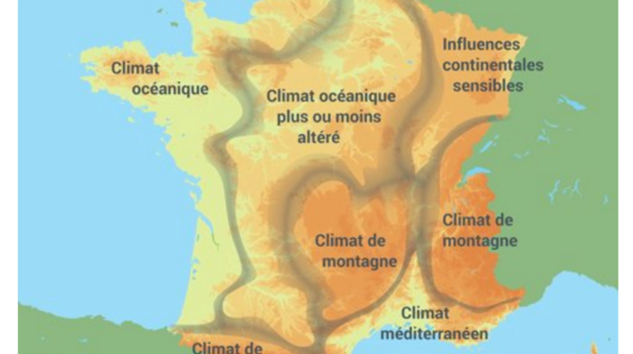
Météo-France corroborated the trend, forecasting stable pressures around 1030 hPa over Normandy and Brittany. National temperature anomalies project +1.5°C, rising to +3°C along coasts. Snow cover will retreat rapidly after January 20 under sunnier conditions.
Post-Goretti recovery benefits from the calmer outlook, with rail services in Normandy nearing full resumption. Power outages affecting thousands have been resolved without further interruptions.
ECMWF Models Confirm High-Pressure Blocking Pattern
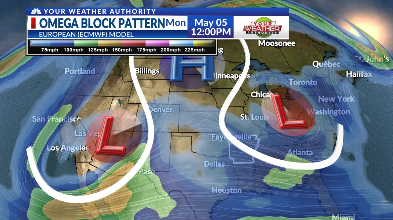
European Centre for Medium-Range Weather Forecasts ensembles indicate 70% probability for the ridge by January 18. Stratospheric warming disrupts jet stream flow, confining cold air to eastern Europe. GFS models show aligned 500 hPa height anomalies favouring stability.
KayE of Tahoe highlighted recent peer-reviewed research on atmospheric rivers contributing to evolving patterns. KayE of Tahoe (@CassandraofTro2) said in X post,
“Atmospheric rivers peer-reviewed 48-min climate dynamics lecture w transcript: “ARs getting stronger longer, wetter n moving poleward, enhancing cyclones, wreaking weather havoc” science class, Heating Planet- Paul Beckwith: They talk about [global warming].”
Atmospheric rivers peer-reviewed 48-min climate dynamics lecture w transcript: “ARs getting stronger longer wetter n moving poleward, enhancing cyclones, wreaking weather havoc” science class, Heating Planet- Paul Beckwith: They talk about [global warming]https://t.co/D4CUB1d35B
— KayE of Tahoe (@CassandraofTro2) January 9, 2026
Atmospheric Rivers Undergo Observed Poleward Shifts
Science Advances documented a 6-10° poleward migration of atmospheric rivers over four decades, driven by tropical Pacific cooling since 2000. Northern Hemisphere frequency rises along 50°N, declining at 30°N during boreal winter. El Niño-Southern Oscillation modulates interannual variations.
GO GREEN referenced the peer-reviewed study confirming hemispheric shifts. GO GREEN (@ECOWARRIORSS) said in X post,
“Atmospheric Rivers Have Shifted Toward Earth’s Poles Over Past 40 Years, Bringing Big Weather Changes This means that areas affected by atmospheric rivers are farther north in Northern Hemisphere and farther south in S Hemisphere than they used to be.”
Atmospheric Rivers Have Shifted Toward Earth’s Poles Over Past 40 Years, Bringing Big Weather Changes
This means that areas affected by atmospheric rivers are farther north in Northern Hemisphere and farther south in S Hemisphere than they used to be.https://t.co/08Uzv1ScVi— GO GREEN (@ECOWARRIORSS) January 6, 2026
CESM2 simulations capture partial forced responses, though Pacific SST variability proves key. Extratropical oceans experience the greatest changes via eddy-mean flow feedbacks.
Regional Temperature and Precipitation Breakdown
The United Kingdom sees its driest January since 2022, with February potentially setting sunshine records. Scotland records 150-200 hours versus 120 norm. France anticipates Paris at 9°C averages, Normandy 11°C daytime. Benelux expects rainless periods, Germany’s Rhine Valley warming earliest.
Post-Storm Goretti Recovery Benefits from Mild Shift
Normandy trains resume full operations by Sunday under calm conditions. FA Cup fixtures proceed without weather threats post-cancellations. Airports lift crosswind restrictions. Energy grids stabilise as demand drops 15% below peaks. Renewables generate surplus under clear skies.
Historical Parallels to 2026 Mild Winter Pattern
The forecast resembles 2014 and 2020 winters, both featuring Scandinavian blocks. Negative AO phase sustains through March. 2025 storm track exhaustion precedes the lull. North Pacific storm tracks shifted poleward faster than models predict. AR intensification accompanies frequency changes.
Sector Responses to Forecasted Conditions
Agriculture gains frost-free nights for extended planting. Construction advances outdoor projects uninterrupted. Tourism surges for coastal destinations. Retail sectors prepare early spring inventory transitions. Health services anticipate reduced cold-related admissions.
Model Monitoring and Update Schedules
Daily ECMWF releases track teleconnection evolutions. Public platforms display real-time probabilities. NOAA collaborations refine inputs. AI nowcasting supplements ensembles for verification. Contingencies activate below 50% confidence thresholds.