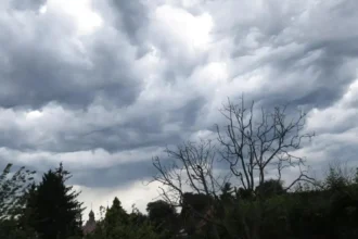


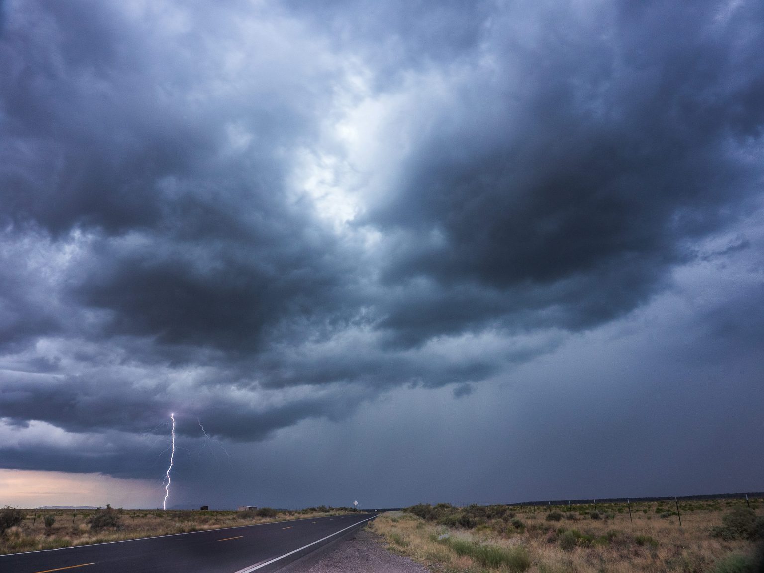
Brussels, 30 September, (Brussels Morning Newspaper) – Belgium faces a wetter and potentially stormy night on Wednesday, with Belgium thunderstorms possible as a band of rain and showers moves from west to east across the country. The Royal Meteorological Institute (RMI) says increasingly unstable conditions could produce thunderstorms after a warm day that brought temperatures ranging from around 20°C in the far west to 28°C in the Kempen. A cold front will cross Belgium overnight, bringing cooler maritime air by Thursday.
Belgium thunderstorms possible as rain moves east
Conditions deteriorated during Wednesday afternoon as cloud increased and rain or showers developed across much of western Belgium. The RMI forecast said instability would also increase inland later in the afternoon, creating the possibility of thunderstorms.
The unsettled weather will continue into Wednesday evening and overnight. A band of rain and showers is expected to move eastwards across Belgium, with thunderstorms possible within the system.
Current conditions in Brussels are described by the RMI as heavily cloudy with light rain or drizzle. The national forecast says a large part of western Belgium is experiencing either rain or showers, while a light to moderate southerly wind is blowing.
RMI says cold front will cross Belgium overnight
The RMI says Belgium is currently positioned between a deep depression west of Ireland and an area of high pressure over eastern Europe and Scandinavia.
Warm air of subtropical origin has been reaching the country on a southerly flow. However, the weather pattern will change overnight as a cold front passes from west to east.
The institute’s latest forecast says that after the front passes, Belgium will move into “cooler maritime air”, while a new high-pressure area develops over western Europe and helps stabilise atmospheric conditions.
The RMI also says Wednesday afternoon will become “gradually heavily cloudy everywhere”, with rain or showers affecting much of the western half of Belgium.
Temperatures will fall behind the cold front
Thursday will bring a noticeable drop in temperatures following Wednesday’s warmth.
Rain is expected to remain concentrated mainly over eastern Belgium during the earlier part of Thursday before conditions gradually become drier and brighter. Maximum temperatures are forecast at around 16°C in the High Fens and approximately 20°C across central Belgium.
That compares with Wednesday’s maximum of around 20°C in the extreme west and as much as 28°C in the Kempen.
Calmer weather forecast from Friday
The unsettled spell is expected to be relatively short.
Friday should begin with possible mist, particularly south of the Sambre and Meuse valleys, before largely sunny conditions develop. Temperatures could reach around 21°C. Similar conditions are currently forecast through the weekend and Monday, although early morning haze or mist remains possible.
Residents should continue checking the latest RMI forecasts and official warnings as the rain band crosses Belgium tonight. The institute issues weather warnings by province when expected thunderstorms, rainfall, wind or other hazardous conditions meet established warning thresholds.